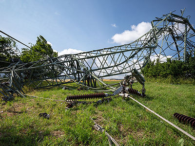
From computer-aided dispatch to advanced GIS solutions, our products help governments and service providers perform mission-critical and business-critical functions.
Featured Products
Intergraph G/Technology Fiber Optic Works
Enhance the complete life cycle of civil infrastructure and fiber network management.
Intergraph G/Technology
Plan, design, and document the network and apply information.
Intergraph NetWorks Suite
Extends your G/Technology capabilities and connects your enterprise to its network model.
EdgeFrontier
Enable rapid, affordable, tailored interface development.
Intergraph Computer-Aided Dispatch
Industry-leading incident management software.
The New Face of Security
Hexagon Safety & Monitoring & Gamma 2 Robotics Integrated Solution
Intergraph Planning & Response
Efficiently collaborate on major events and disasters.
Intergraph Security
Rapidly and effectively detect, assess, and respond to threats.
GeoMedia Smart Client
Easily deploy highly focused, map-based workflows to the office or the field via the web.
GeoMedia WebMap
Publish high-performance, highly capable web mapping sites and web services with a click of a button.
Geospatial Portal
Deliver functionally rich, interactive 2D and 3D experiences via browsers.
Geospatial SDI
Ensure adherence to OGC, INSPIRE, and ISO standards for web services and metadata.
Mobile MapWorks
Mobile Alert
Simple, affordable, cloud-based crowdsourcing of location-based information on incidents and infrastructure.
GeoMedia Transportation Manager
Process the linear data transportation networks rely on.
Intergraph InService
Restore power quickly and efficiently.
Intergraph Outage Notifications
Speed delivery of detailed outage alerts.
Intergraph Damage Assessment
Optimize restoration using current data.
Intergraph Outage Analytics & Reporting
Extend enterprise access to operational information for outage visualization, analysis, and reporting.
Intergraph Incident Analyst
Better understand incidents to improve resource planning.
Intergraph InPursuit Crime Analysis GIS
Visualize data, report on incidents, and better allocate resources.
Intergraph InPursuit Field Based Reporting
Increase productivity and ensure better, more timely reports.
Intergraph InPursuit RMS
Support law enforcement operations, investigations, and administration.
Intergraph InPursuit WebRMS
Provide rapid and reliable access to information, whenever and wherever needed.
ERDAS IMAGINE
World’s leading remote sensing platform.
ERDAS IMAGINE Photogrammetry
Efficiently process aerial imagery and LiDAR data to extract features.
ImageStation
Power volume photogrammetry and production mapping.
ORIMA
Supply engineering-grade aerial triangulation for ADS and frame sensor imagery.


